Sentinel, Flagg, and Bayle (3/13/21)
Coming into this winter, my goal was to finish up the winter four thousand footers in New Hampshire in order to get that patch. That didn't work out; I fell four short due to not being able to get my backpacking trip through the Twin Range in. That might be for the best anyway, as there are two benefits to not finishing this year. First, the Four Thousand Footer Committee probably won't be holding their annual celebration dinner anyway, and I always look forward to that. Second, it raises the possibility that my friend Sylvia will finish her four thousand footers next year and I will be able to join her in celebrating both our accomplishments.
Despite not finishing the four thousands in winter, I did get the consolation prize of at least getting my first winter patch by finishing the winter Ossipees. To do so, I had to hike three mountains this weekend: Sentinel, Flagg, and Bayle. The plan was to hike Sentinel and Flagg first as an out and back, and then drive over to Bayle and hike that as a finisher.
Dragonfly had hiked all of these peaks before, so she was able to give me some valuable advice. She also let me stay at her house Friday night so that I would have an easier drive to the mountains. Even starting from the Lakes Region in New Hampshire, it was still nearly an hour's drive to these trails just because of how bad the roads were around the mountains. When I got to the parking area for Sentinel, I found that it had not been plowed out and was unusable, so I had to look for another option. Not far down the road, I found an area that looked like an RV graveyard, but I think it was really just winter storage. It had a couple parking spots, so even though it was a bit sketchy looking, I decided to chance it.

I decided to start my hike in spikes, but carry snowshoes with me. Sentinel was steeper than I expected, especially near the top. In fact, it was one of those uphills where I worried about the return trip because I wasn't sure how I was going to get back down. I figured I could deal with that problem later, though.
Sentinel had a beautiful summit, though one of the unfortunate features of the Ossipees is that they basically all look out towards the same view of Lake Winnipesaukee. At least all the south facing summits do. I think part of what makes Shaw's summit so special is the great view that it has to the north, towards the White Mountains.
Once I summited Sentinel, I started the slog over towards Flagg. I say slog because it was a long, fairly boring hike between the two mountains. It wasn't really particularly challenging, just annoying. I did pass some interesting features along the way, though, such as an old cabin and a small hiking shelter. They would probably be fun places to backpack to, although the shelter looked to be in substantially better shape than the cabin.

Unfortunately, during this section of trail the day was becoming warmer, and the snow was starting to get soft underfoot. I post-holed a couple times in the spikes, and then realized it was time to switch to snowshoes. They made things better, but even they were sinking in the slushy snow.
I finally made it over to Flagg, and was rewarded with great views from the rock ledges. I then checked my GPS and realized that I was not actually at the summit of Flagg. I had to hike on for another quarter mile or so before I found the actual summit. On the plus side, the actual summit of Flagg had some great views northwards towards the Sandwich Range, so at least there was a nice payoff for the effort.
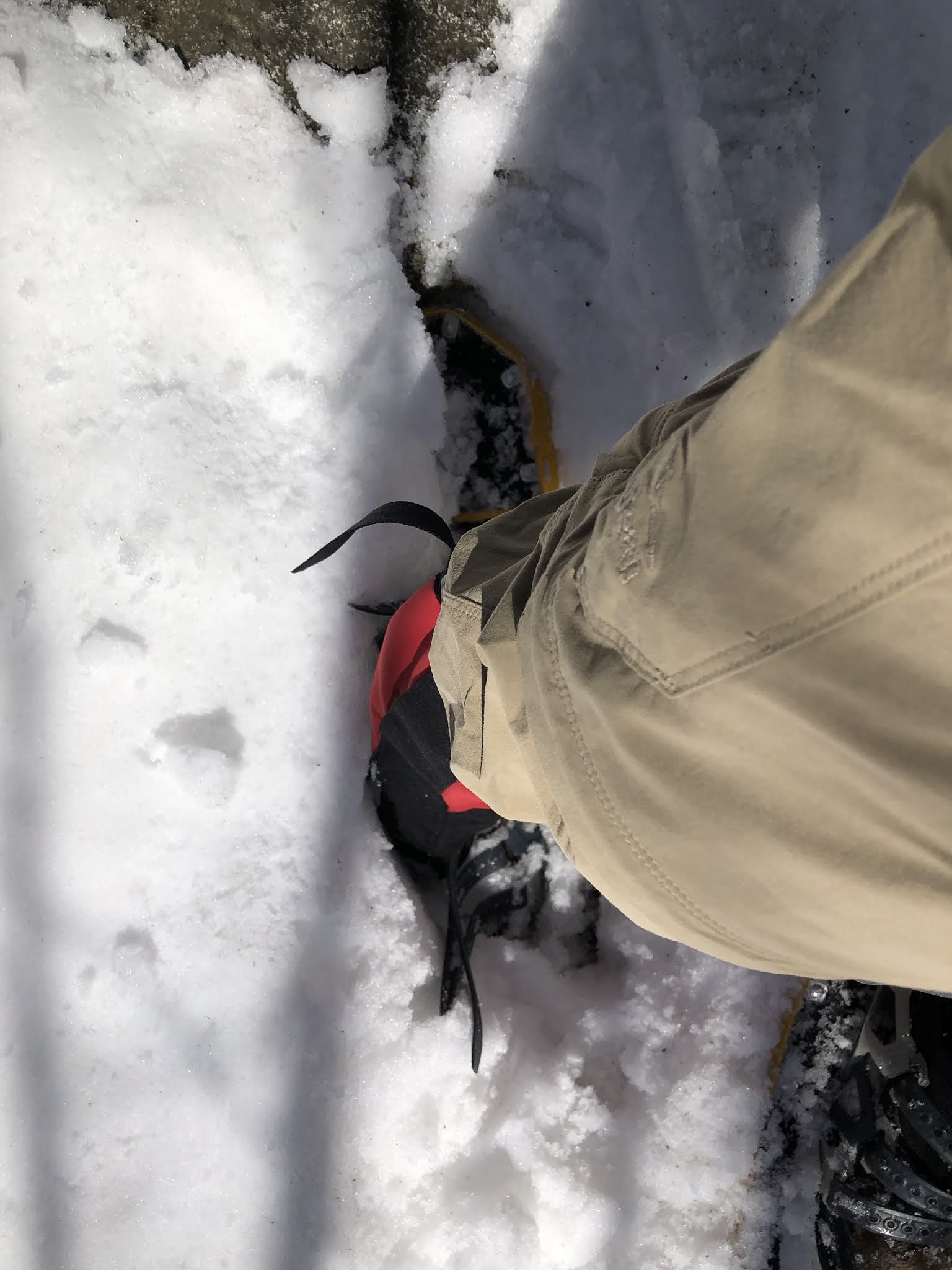
Snowshoes still strapped on, I proceeded to hike back towards Sentinel. As I proceeded down Flagg, I had an unusual problem occur. My right snowshoe post-holed in the soft snow, and I couldn't lift it out. There was too much snow on top of it, blocking its ascent out of the hole. I tried several times, but it wouldn't budge. I thought about taking the snowshoe off, but the angle was really awkward and my snowshoes don't have a great strapping system. Finally, I braced myself on my left snowshoe and left pole, and reached in with my right hand and pulled my foot out, snowshoe and all. Needless to say, when I list my favorite aspects of this hike, the spring snow will not be on that list.
As I proceeded up towards Sentinel, I started to notice post-holes in the snow. I knew I didn't make them that morning, so I reasoned that there must be other people on the trail. Sure enough, a couple minutes later I ran into a couple out hiking. They told me that they were hiking to Sentinel, but the ascent had become too steep to climb with the constant post-holing, so they were going to another mountain called Canaan mountain instead. It wasn't and still isn't clear to me if there is an actual trail to the summit of Canaan or whether it would be a bushwhack. In my experience, bushwhacks are much worse than established trails when it comes to post-holing.
After I re-summited Sentinel, I proceeded back down the very steep section high on the mountain. It had been difficult that morning going up with firm snow and spikes. Now, going down with soft snow and snowshoes, it was much worse. I stepped carefully and gingerly so as to not go sliding down the mountain. An incident probably wouldn't have been fatal, but it would have hurt a lot. Thankfully, my caution paid off and I made it down without incident, and then proceeded out the rest of the Sentinel Mountain Trail back to my car.
I thought the drive to Sentinel had been bad, but the drive to Bayle was much worse. It required going down a road called Marble Road, which was a dirt road with a 5 mph speed limit. The speed limit was justified, too, because it was a two-way road, but there was only enough space for a car to go one way. If I had run into a car coming the other direction, I don't know what I would have done. Backed up a lot, I guess.
The Bayle Mountain Trail followed a snowmobile trail up to the hiking trail. Unfortunately, I missed the hiking trail, and ended up at the old hiking trail, which you're not supposed to use anymore due to erosion. Thus, I had to backtrack, but I eventually found the actual hiking trail and proceeded up it.

The spring snow was worse by this time in the afternoon, and though the snowshoes were helping, I was still post-holing somewhat. Even worse, I had to climb a lot of bare rocks, and that was scraping the snowshoes. Still, there was nothing to be done for it, and I just kept climbing. At one point, the trail ascended a series of rocks where you had to grab onto a tree and hoist yourself onto a narrow ledge to proceed. Well, I grabbed the tree and began to hoist myself, but didn't notice the rock sticking out until after it had collided with my head. I yelled some not very nice things at the rock, but thankfully I didn't lose my grip and fall. I got myself onto the narrow ledge, and although it was difficult to balance up there with snowshoes, I eventually managed to climb past the obstacle. Once I was safe again, I grabbed some snow and put it against my head to ice my head wound.
As I proceeded towards the summit, I began to notice a lot of moose scat. Piles and piles of it every few feet. It looked somewhat fresh, so I thought that I might end up seeing a moose, but alas that never happened. I think of moose as being more prevalent in New Hampshire's north country and the White Mountains, but I guess it just shows you that you could see a moose as far south as the Lakes Region.
I finally summited Bayle, and was very impressed with the 360 degree views it offered. Very few mountains actually offer full 360 degree views. Chocorua certainly does, and a few of the four thousands like Jefferson do, but most don't. Even Washington doesn't thanks to all the buildings up there.

As I began to descend Bayle, I ran into another group of people, which looked to be a family of three. The father commented to me that they had been following my snowshoe tracks all the way up, and I told them that I was glad that I could be helpful. The mother mentioned that I had been smart to wear snowshoes, as they had been post-holing a lot on the way up. As I proceeded down the mountain, I saw the evidence of what she meant. There were post-holes everywhere, and even with the snowshoes it was hard navigating down in the soft spring snow.
When I finally descended (and safely made it back out Marble Road), I was proud of what I had accomplished. I had completed two patches (the Ossipee 10 and the Ossipee Winter 10) in just three weeks. I don't know what my next adventure will be now. Spring is a tough time for hiking. I would like to do some backpacking, and maybe do some hiking in Acadia National Park in April if the opportunity opens up. Whatever I decide to do, you can rest assured that I will post about it here. Always remember, you can't take flight until you spread your wings.


Comments
Post a Comment